Glenwild's Trails Dry Out First. That's Why They're Never Empty.
Peak Luxury Real Estate Editorial Team August 20, 2026
Peak Luxury Real Estate Editorial Team August 20, 2026
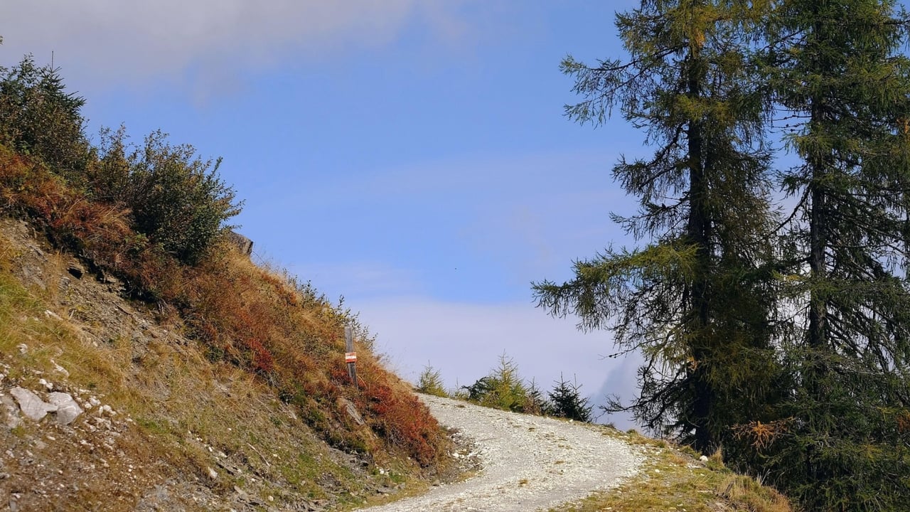
The first time you look at the trailhead across the frontage road from Kimball Junction, the hillside doesn't look like the rest of Park City. No pine canopy, no obvious ribbon of singletrack vanishing into timber, just sage and bitterbrush rolling up toward a bare ridge. It looks like the wrong mountain range. Then April arrives, and that same unglamorous hillside turns into the busiest riding and running network in the Snyderville Basin, weeks before anywhere else in town has shed its mud.
That timing is not an accident of marketing. It's elevation and aspect. The Glenwild trail system starts around 6,350 feet, low by Park City standards, and much of it faces south. Lower elevation and southern exposure mean faster snowmelt and quicker soil drainage, so these slopes are typically firm enough to ride by April while higher, shadier singletrack elsewhere in the valley is still locked up. Local riders have long treated Glenwild as the season opener for exactly this reason: it's usually the first major network in the area to melt out each spring.
For anyone living nearby, that fact changes how you plan a shoulder-season week. It also changes who else shows up.
Being first to dry out sounds like a private advantage if you live minutes away. It isn't. Because Glenwild opens before the rest of the valley, it absorbs the entire town's pent-up spring energy at once. Riders who'd normally spread across a dozen networks funnel into this one for a few weeks, which means weekend traffic here in early spring and early summer runs heavier than almost anywhere else in Park City. The same convenience that makes a lunch-hour lap easy for someone who lives nearby also makes a Saturday morning ride here a genuinely social experience, whether you were looking for company or not.
That's worth knowing before you plan a guest's first ride or your own weekday escape. Early mornings and midweek still deliver a quieter ride amid the sagebrush. Saturday at ten does not.
It's a common assumption that a trail network sharing a gated community's name must be private to that community. It isn't. The Glenwild trail system is managed by Basin Recreation, the public parks and recreation district serving the Snyderville Basin, and it's reached through its own trailheads rather than through the community gatehouse. Spring Creek Trailhead, Bad Apple Trailhead, and East Canyon Creek Trailhead all provide separate public access points, with Spring Creek offering a shaded pavilion, picnic tables, and a water fountain for anyone packing a lunch before or after a ride. The network also threads through the Rasmussen Open Space, land set aside specifically to protect habitat along the route.
So the trails carrying Glenwild's name belong to the whole town. The community they sit beside doesn't gate them off, and that openness is part of why the spring crowding happens in the first place.
Here's a sample of what's actually out there, pulled from Basin Recreation's own trail listing:
Trail | Distance | Use | Difficulty |
|---|---|---|---|
24-7 | 5.1 miles | Multi-use | Intermediate |
Blackhawk Trail | 2.4 miles | Multi-use | Intermediate |
Cobblestone Trail | 1.8 miles | Multi-use | Intermediate |
Bad Apple | 0.6 miles | Multi-use | Intermediate |
Ant Farm | 0.8 miles | Downhill biking | Intermediate |
That's a fraction of the system. Mountain Trails Foundation puts the full network at more than 25 miles north of Kimball Junction, and Trailforks counts 32 distinct trails in the area, 30 of them open to mountain biking. The trail simply named Glenwild carries the most elevation gain in the system at 824 feet, while Flying Dog, the ride Mountain Trails Foundation calls a must-do for every trail user at least once, holds the record for descent at 915 feet. Riders looking for something steeper and more technical head to Bob's Basin, a cluster of downhill-specific trails built for intermediate to advanced riders rather than casual laps.
Locals tend to sort their options by how much daylight they've got, not by which trail sounds best on a map.
Dogs are welcome on the system but must stay on leash, and e-bikes are not permitted on the singletrack, with a narrow exception for riders 65 and older on a Class 1 e-bike or those with mobility disabilities. Trailforks activity logs name May as one of the network's most heavily ridden months, which lines up with everything above: it's the moment the rest of the valley finally catches up and the crowd Glenwild absorbed alone in April spreads back out.
The terrain earns its skepticism at the trailhead and then talks you out of it within the first mile. Riders and hikers pass through three distinct zones on a single loop: sage and bitterbrush low down, sedges and wet bottomland through the creek sections, then an alpine transition with maple and oak higher up. Wildflowers along the way include miniature penstemon, larkspur, lupine, sticky geranium, and yampa, and at least one stretch of the Glenwild Trail itself is known for blooming prickly pear cactus, an odd sight for anyone who came to Park City expecting only pine and granite. Moose sightings along the creek sections aren't unusual, and the wildflower-covered hills the trails cross are also regular ground for elk and mule deer moving through the area.
None of this reads like the postcard version of Park City. That's the point. The network's value isn't that it looks like the rest of town. It's that it opens weeks before the rest of town does, and the terrain that gets you there happens to be worth the ride on its own terms.
Ask anyone who's done a lap starting from the Glenwild or Blackhawk trailhead where they go after, and the answer tends to be the same: Maxwell's East Coast Eatery, a New York-style pizza spot in the Newpark Town Center close enough to reach without changing out of riding clothes. The local order worth knowing is the Fat Kid Pizza, and a slice with a cold beer after a dusty lap has become as much a part of the Glenwild ride as the trail itself.
That closing ritual says something about how this network actually gets used. It isn't a scenic backdrop people photograph and leave. It's a working piece of the neighborhood's calendar, the thing that tells longtime residents spring has arrived before the calendar does, and the thing that reminds them every April that a trail worth having outside your door is rarely a trail you get to keep to yourself.
If you're weighing what daily life actually looks like in a community like Glenwild, from trail access to the rhythms that come with it, Peak Luxury Real Estate can walk you through what living here means beyond the listing photos. Reach out when you're ready to talk specifics.
This article is general information, not legal, tax or financial advice. Consult a qualified professional about your situation.
Stay up to date on the latest real estate trends.
Navigate Park City’s luxury real estate market with confidence, from Deer Valley ski-in/ski-out estates to Jordanelle retreats—backed by tailored strategy, elevated service, and local expertise.